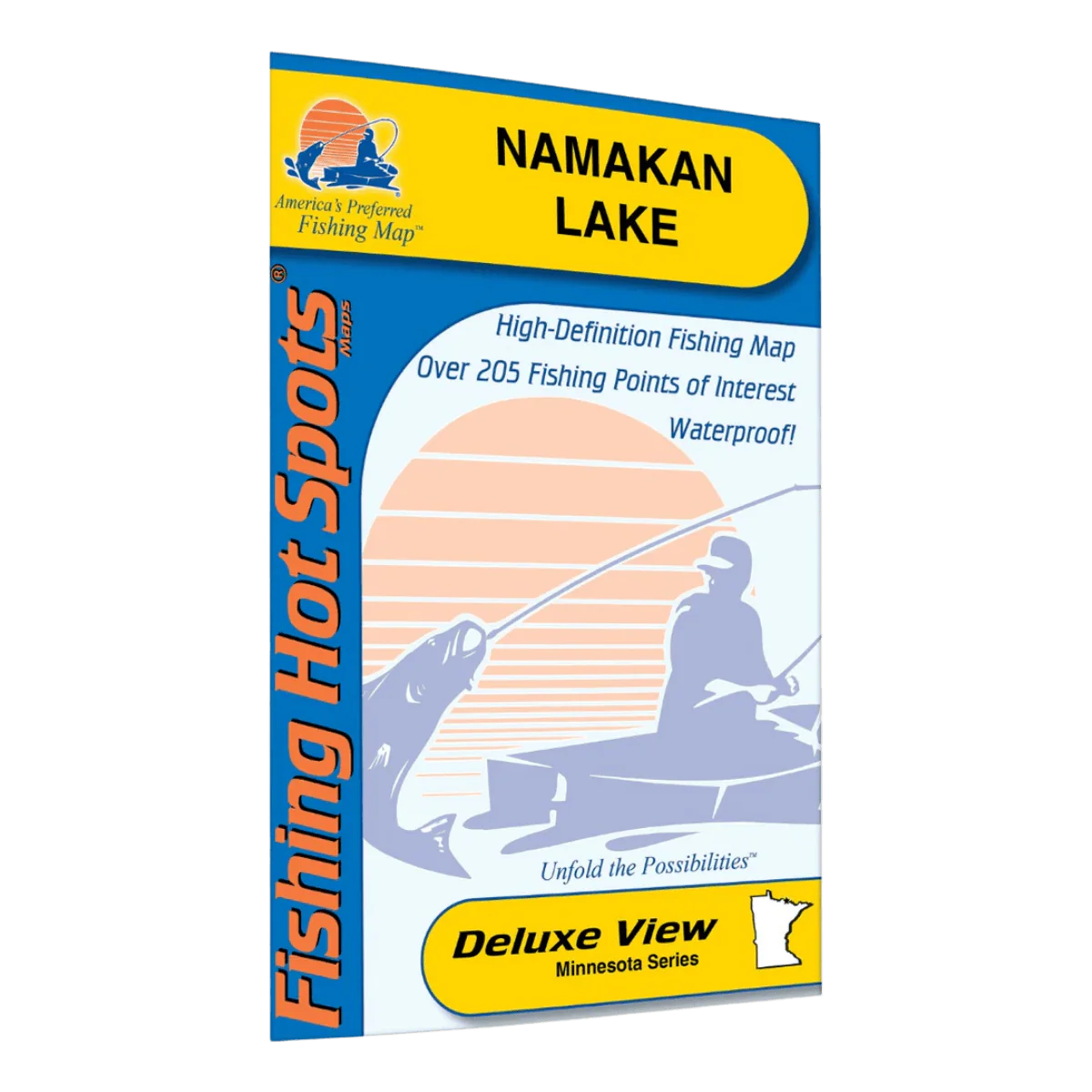
LAKEMAPS/IN DEPTH FHS - NAMAKAN LAKE
The Lakemaps In-Depth FHS Fishing Map for Namakan Lake covers over 24,000 acres of water along the eastern edge of Voyageurs National Park, offering anglers detailed insight into one of the region’s most scenic and productive fisheries. Part of an international border lake chain, Namakan Lake is known for its remote feel and excellent fishing opportunities.
This folded fishing map highlights proven fishing areas, key lake features, and access points to help anglers plan successful trips. It includes lake profiles, fishery information, fishing tips, GPS data, and driving directions for easy navigation on and off the water.
Key Features
-
Covers Namakan Lake (MN/Canada border)
-
Featured species – Walleye, northern pike, smallmouth bass, crappie
-
106 proven fishing areas marked
-
5 access points with driving directions
-
Lake profiles & fishery information
-
Fishing tips & GPS data
-
Folded, portable fishing map
Description
The Lakemaps In-Depth FHS Fishing Map for Namakan Lake covers over 24,000 acres of water along the eastern edge of Voyageurs National Park, offering anglers detailed insight into one of the region’s most scenic and productive fisheries. Part of an international border lake chain, Namakan Lake is known for its remote feel and excellent fishing opportunities.
This folded fishing map highlights proven fishing areas, key lake features, and access points to help anglers plan successful trips. It includes lake profiles, fishery information, fishing tips, GPS data, and driving directions for easy navigation on and off the water.
Key Features
-
Covers Namakan Lake (MN/Canada border)
-
Featured species – Walleye, northern pike, smallmouth bass, crappie
-
106 proven fishing areas marked
-
5 access points with driving directions
-
Lake profiles & fishery information
-
Fishing tips & GPS data
-
Folded, portable fishing map