LAKEMAPS / IN-DEPTH DELORME ATLAS & GAZETTEER – NORTH DAKOTA
Discover North Dakota’s wide-open landscapes with the DeLorme Atlas & Gazetteer—your go-to guide for road trips, backcountry navigation, and outdoor exploration. Packed with detailed, full-color topographic maps, it helps you easily locate towns, scenic routes, landmarks, and hidden recreation spots across the state.
Highlights:
• Full-color topographic maps covering all of North Dakota
• Cities, towns, scenic drives, ranches, buttes & historic sites
• Outdoor data: trailheads, boat ramps & prime fishing locations
• GPS-friendly latitude/longitude grid on every page
• Fully indexed for fast, accurate lookups
• Major city & state land inset maps
• Large, easy-to-read format (15.5" × 11")
Perfect For: Travelers, campers, hikers, anglers & anyone exploring North Dakota’s terrain.
Original: $24.95
-65%$24.95
$8.73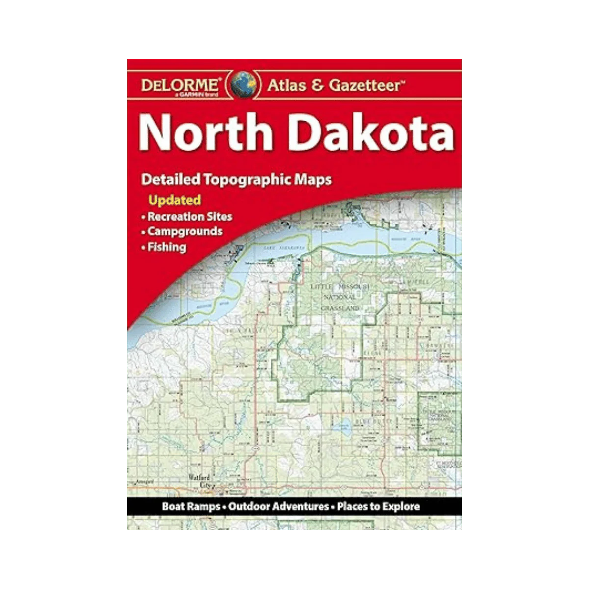
Description
Discover North Dakota’s wide-open landscapes with the DeLorme Atlas & Gazetteer—your go-to guide for road trips, backcountry navigation, and outdoor exploration. Packed with detailed, full-color topographic maps, it helps you easily locate towns, scenic routes, landmarks, and hidden recreation spots across the state.
Highlights:
• Full-color topographic maps covering all of North Dakota
• Cities, towns, scenic drives, ranches, buttes & historic sites
• Outdoor data: trailheads, boat ramps & prime fishing locations
• GPS-friendly latitude/longitude grid on every page
• Fully indexed for fast, accurate lookups
• Major city & state land inset maps
• Large, easy-to-read format (15.5" × 11")
Perfect For: Travelers, campers, hikers, anglers & anyone exploring North Dakota’s terrain.