LAKEMAPS/ IN DEPTH LAKEMAPS PUBLIC HUNTING MAPS
The Lakemaps / In-Depth Lakemaps Public Hunting Maps are detailed, easy-to-read color maps designed to help hunters locate public lands open for hunting. These maps unfold to display state wildlife management areas, federal waterfowl production areas, and other public hunting lands. The back side includes valuable details such as township and range information, access details, and contact information for relevant government offices.
Features:
- Easy-to-read full-color hunting map
- Shows public lands open for hunting
- Includes state wildlife management areas
- Includes federal waterfowl production areas and more
- Back side lists site details and access information
- Includes township and range locations
- Provides phone numbers and addresses for government offices
- Useful for trip planning and navigation
Original: $4.95
-65%$4.95
$1.73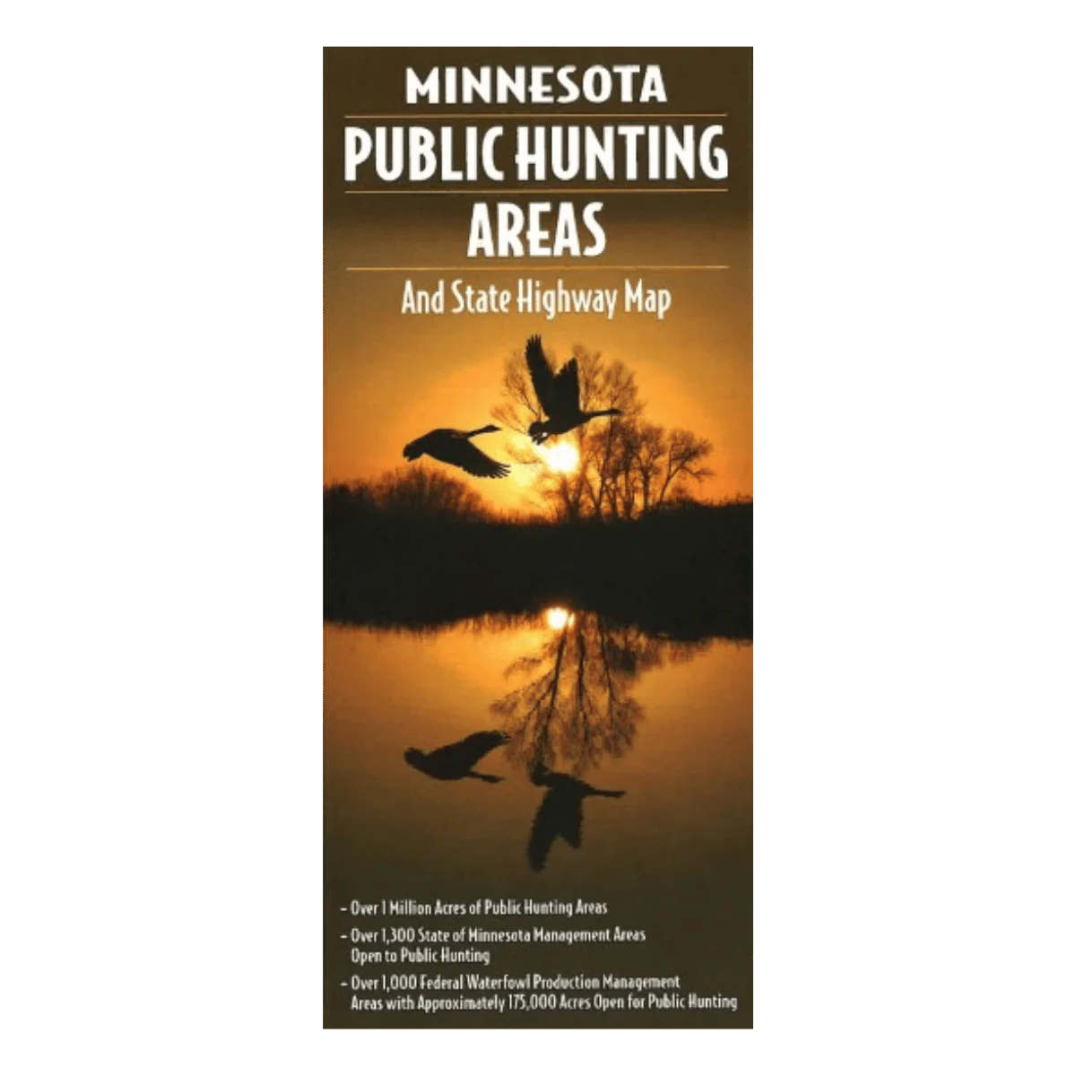
Description
The Lakemaps / In-Depth Lakemaps Public Hunting Maps are detailed, easy-to-read color maps designed to help hunters locate public lands open for hunting. These maps unfold to display state wildlife management areas, federal waterfowl production areas, and other public hunting lands. The back side includes valuable details such as township and range information, access details, and contact information for relevant government offices.
Features:
- Easy-to-read full-color hunting map
- Shows public lands open for hunting
- Includes state wildlife management areas
- Includes federal waterfowl production areas and more
- Back side lists site details and access information
- Includes township and range locations
- Provides phone numbers and addresses for government offices
- Useful for trip planning and navigation