LAKEMAPS / IN-DEPTH DELORME ATLAS & GAZETTEER – SOUTH DAKOTA
Navigate South Dakota like a pro with the DeLorme Atlas & Gazetteer, your all-in-one guide for road trips, outdoor exploration, and backcountry adventures. With 61 full-color topographic maps, it delivers exceptional detail for discovering everything from scenic drives to hidden recreation spots.
Highlights:
• 61 detailed topographic maps
• Cities, towns, scenic routes & points of interest
• Outdoor-focused data: trailheads, campsites, boat ramps & top fishing areas
• Easy GPS reference with latitude/longitude grid
• Inset maps for major cities & public lands
• Large, easy-to-read format (15.5" × 11")
• Fully indexed for quick navigation
Perfect For: Road trips, hiking, fishing, camping & exploring South Dakota’s landscapes.
Original: $24.95
-65%$24.95
$8.73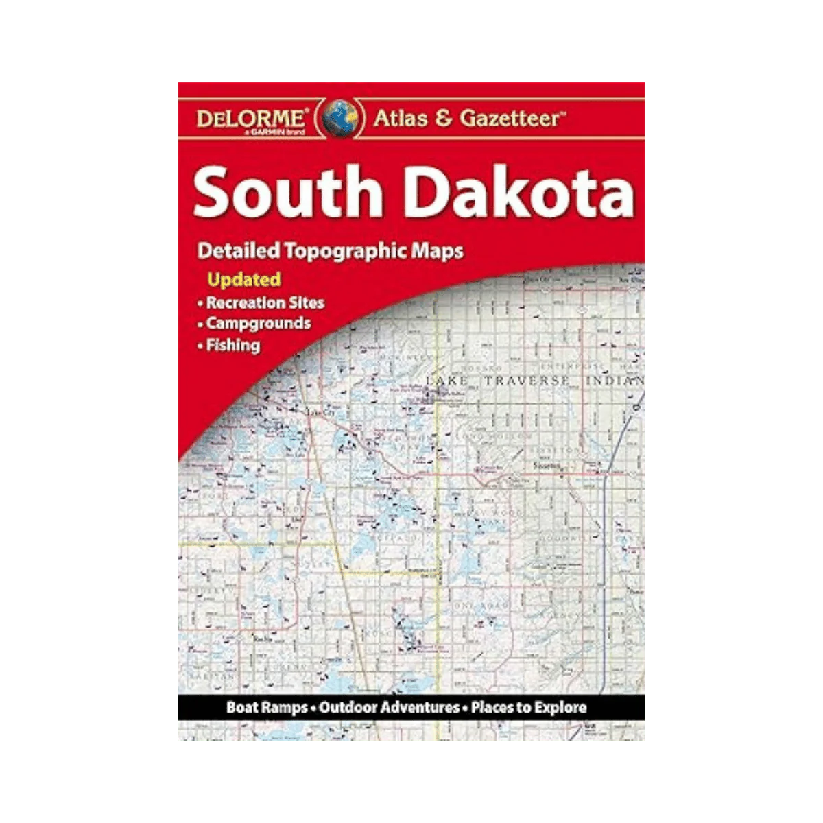
Description
Navigate South Dakota like a pro with the DeLorme Atlas & Gazetteer, your all-in-one guide for road trips, outdoor exploration, and backcountry adventures. With 61 full-color topographic maps, it delivers exceptional detail for discovering everything from scenic drives to hidden recreation spots.
Highlights:
• 61 detailed topographic maps
• Cities, towns, scenic routes & points of interest
• Outdoor-focused data: trailheads, campsites, boat ramps & top fishing areas
• Easy GPS reference with latitude/longitude grid
• Inset maps for major cities & public lands
• Large, easy-to-read format (15.5" × 11")
• Fully indexed for quick navigation
Perfect For: Road trips, hiking, fishing, camping & exploring South Dakota’s landscapes.