LAKEMAPS/IN DEPTH FHS LAKE OF THE WOODS SOUTHWEST
The Lakemaps In-Depth FHS Fishing Map for Lake of the Woods – Southwest (MPN Q273) covers a productive section of this premier Ontario–Minnesota border fishery. Part of a four-map set, this map focuses on heavily fished and diverse waters known for strong walleye, smallmouth bass, and muskie opportunities.
This map includes Big Traverse Bay, Little Traverse Bay, the Northwest Angle, and Miles Bay. Designed for efficient trip planning and on-the-water use, it features lake profiles, fishery information, fishing tips, GPS data, and clearly marked access points with driving directions.
Key Features
-
Covers Lake of the Woods – Southwest (MN/Border Waters)
-
Featured species – Walleye, sauger, smallmouth bass, muskie, northern pike, yellow perch
-
Includes major bays & regions – Big Traverse, Little Traverse, Northwest Angle, Miles Bay
-
44 proven fishing areas marked
-
2 access points with driving directions
-
Lake profiles, fishing tips & GPS data
-
Folded, portable fishing map (36" x 24" unfolded)
Original: $14.95
-65%$14.95
$5.23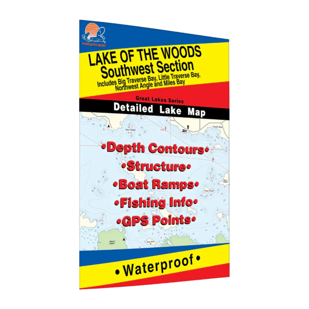
Description
The Lakemaps In-Depth FHS Fishing Map for Lake of the Woods – Southwest (MPN Q273) covers a productive section of this premier Ontario–Minnesota border fishery. Part of a four-map set, this map focuses on heavily fished and diverse waters known for strong walleye, smallmouth bass, and muskie opportunities.
This map includes Big Traverse Bay, Little Traverse Bay, the Northwest Angle, and Miles Bay. Designed for efficient trip planning and on-the-water use, it features lake profiles, fishery information, fishing tips, GPS data, and clearly marked access points with driving directions.
Key Features
-
Covers Lake of the Woods – Southwest (MN/Border Waters)
-
Featured species – Walleye, sauger, smallmouth bass, muskie, northern pike, yellow perch
-
Includes major bays & regions – Big Traverse, Little Traverse, Northwest Angle, Miles Bay
-
44 proven fishing areas marked
-
2 access points with driving directions
-
Lake profiles, fishing tips & GPS data
-
Folded, portable fishing map (36" x 24" unfolded)