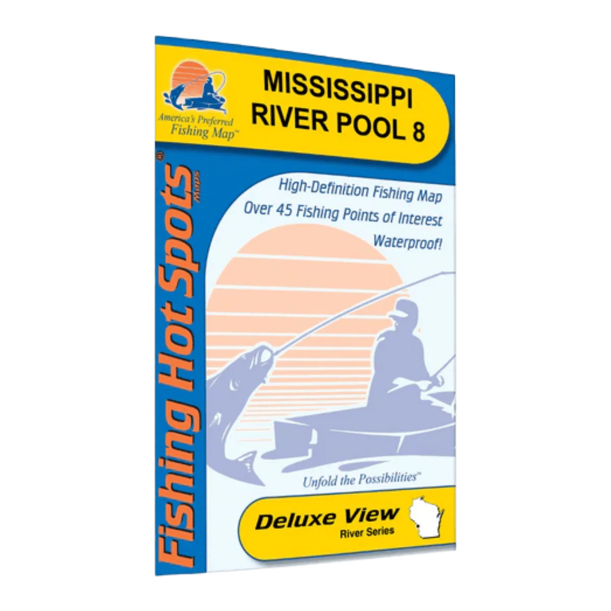
LAKEMAPS/IN DEPTH FHS MISSISSIPPI RIVER POOL 8
This folded fishing map is made for anglers who want to fish Mississippi River Pool 8 with confidence and better awareness of the water. It’s a practical reference for planning trips at home and making quick decisions on the river, helping you understand changing conditions and focus on productive areas.
Printed in full color with clean, easy-to-read detail, the map opens to a large 24" x 36" size, giving you a clear view of the entire pool from Lock and Dam 7 to Lock and Dam 8. When folded down to a compact 6" x 9", it fits easily into a tackle bag, boat compartment, or glove box. The paper feels sturdy in hand while remaining lightweight, making it easy to carry on every outing.
Mississippi River Pool 8 stretches 23.3 miles and covers roughly 20,180 acres at 631 feet above mean sea level. Because water levels and depths change with river flow and sediment, this map helps you stay oriented as conditions shift. It highlights key fishing areas for popular species like walleye, largemouth and smallmouth bass, northern pike, white bass, black crappie, perch, and bluegill, making it useful for both targeted trips and mixed-species days.
Key features
-
Detailed lake profile to help visualize river layout and structure
-
Fishery information for understanding species behavior
-
Fishing tips and techniques you can apply on the water
-
Clearly marked access points with driving directions
-
45 fishing points of interest to help you find productive spots faster
This folded fishing map is a simple, reliable tool for anglers who want better planning, clearer navigation, and more confidence when fishing Mississippi River Pool 8.
Description
This folded fishing map is made for anglers who want to fish Mississippi River Pool 8 with confidence and better awareness of the water. It’s a practical reference for planning trips at home and making quick decisions on the river, helping you understand changing conditions and focus on productive areas.
Printed in full color with clean, easy-to-read detail, the map opens to a large 24" x 36" size, giving you a clear view of the entire pool from Lock and Dam 7 to Lock and Dam 8. When folded down to a compact 6" x 9", it fits easily into a tackle bag, boat compartment, or glove box. The paper feels sturdy in hand while remaining lightweight, making it easy to carry on every outing.
Mississippi River Pool 8 stretches 23.3 miles and covers roughly 20,180 acres at 631 feet above mean sea level. Because water levels and depths change with river flow and sediment, this map helps you stay oriented as conditions shift. It highlights key fishing areas for popular species like walleye, largemouth and smallmouth bass, northern pike, white bass, black crappie, perch, and bluegill, making it useful for both targeted trips and mixed-species days.
Key features
-
Detailed lake profile to help visualize river layout and structure
-
Fishery information for understanding species behavior
-
Fishing tips and techniques you can apply on the water
-
Clearly marked access points with driving directions
-
45 fishing points of interest to help you find productive spots faster
This folded fishing map is a simple, reliable tool for anglers who want better planning, clearer navigation, and more confidence when fishing Mississippi River Pool 8.