LAKEMAPS/IN DEPTH FHS - MISS RIVER POOL
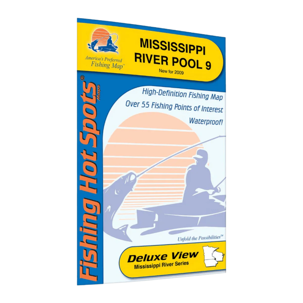
This folded fishing map is made for anglers who want to fish Mississippi River Pool 9 with confidence, whether you’re planning a weekend trip or dialing in a familiar stretch of water. It gives you a clear, full-color view of the river and backwaters so you can understand the layout, find productive areas, and spend more time fishing instead of guessing.
Printed on durable paper with crisp, easy-to-read detail, the map opens to a large 24" x 36" size that lets you see the entire pool at a glance. When folded down to a compact 6" x 9", it slips easily into a tackle bag, boat compartment, or glove box. The clean layout and sharp color contrast make important features stand out, even when you’re scanning it quickly on the water.
Pool 9 is known for variety and action, with over 100 fish species throughout the river system and backwaters. This map highlights key areas for popular species like walleye, largemouth and smallmouth bass, northern pike, bluegill, and black crappie, helping you plan smarter and fish more efficiently. Coverage includes waters in Iowa and Wisconsin, printed in English, and designed specifically for Midwest anglers.
Key Features:
-
Full-color, detailed lake profile for clear understanding of river structure
-
Fishery information to help match your approach to the water
-
Fishing tips and techniques you can actually use
-
Clearly marked access points with driving directions
-
55 fishing points of interest to help you target productive areas faster
-
Lightweight 2 oz folded design that’s easy to carry and store
If you want a practical, easy-to-use fishing map that helps you fish Mississippi River Pool 9 with more confidence and less guesswork, this is a smart addition to your gear.
Description
This folded fishing map is made for anglers who want to fish Mississippi River Pool 9 with confidence, whether you’re planning a weekend trip or dialing in a familiar stretch of water. It gives you a clear, full-color view of the river and backwaters so you can understand the layout, find productive areas, and spend more time fishing instead of guessing.
Printed on durable paper with crisp, easy-to-read detail, the map opens to a large 24" x 36" size that lets you see the entire pool at a glance. When folded down to a compact 6" x 9", it slips easily into a tackle bag, boat compartment, or glove box. The clean layout and sharp color contrast make important features stand out, even when you’re scanning it quickly on the water.
Pool 9 is known for variety and action, with over 100 fish species throughout the river system and backwaters. This map highlights key areas for popular species like walleye, largemouth and smallmouth bass, northern pike, bluegill, and black crappie, helping you plan smarter and fish more efficiently. Coverage includes waters in Iowa and Wisconsin, printed in English, and designed specifically for Midwest anglers.
Key Features:
-
Full-color, detailed lake profile for clear understanding of river structure
-
Fishery information to help match your approach to the water
-
Fishing tips and techniques you can actually use
-
Clearly marked access points with driving directions
-
55 fishing points of interest to help you target productive areas faster
-
Lightweight 2 oz folded design that’s easy to carry and store
If you want a practical, easy-to-use fishing map that helps you fish Mississippi River Pool 9 with more confidence and less guesswork, this is a smart addition to your gear.