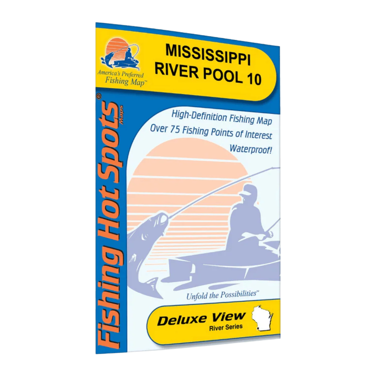
LAKEMAPS/IN DEPTH FHS MISSISSIPPI RIVER POOL 10
This folded fishing map is designed for anglers who want to fish Mississippi River Pool 10 with clarity and confidence. It’s a practical tool for planning trips at home and making quick decisions on the water, helping you understand current flow, structure, and productive fishing areas as conditions change.
Printed in full color with sharp, easy-to-read detail, the map opens to a large 24" x 36" size so you can view the entire pool at once. When folded down to a compact 6" x 9", it fits neatly into a tackle bag, boat storage, or glove box. The paper feels sturdy yet lightweight, weighing just 2 oz, so it’s easy to bring along on every trip.
Mississippi River Pool 10 covers approximately 17,070 acres, stretching 32.8 river miles from Lock and Dam 9 to Lock and Dam 10. With constantly changing water levels and strong inflows, including the Wisconsin River, this map helps you stay oriented and adapt your approach. It highlights key areas for species like walleye, sauger, largemouth bass, white bass, black crappie, bluegill, and northern pike, making it useful for a wide range of fishing styles.
Key features include:
-
Detailed lake profile for understanding river layout and structure
-
Fishery information to support smarter fishing decisions
-
Fishing tips and techniques tailored to the water
-
Clearly marked access points with driving directions
-
75 fishing points of interest to help you find productive spots faster
Printed in English and covering U.S. waters, this folded map is a reliable, easy-to-use reference for anglers who want better planning and more confidence on Mississippi River Pool 10.
Description
This folded fishing map is designed for anglers who want to fish Mississippi River Pool 10 with clarity and confidence. It’s a practical tool for planning trips at home and making quick decisions on the water, helping you understand current flow, structure, and productive fishing areas as conditions change.
Printed in full color with sharp, easy-to-read detail, the map opens to a large 24" x 36" size so you can view the entire pool at once. When folded down to a compact 6" x 9", it fits neatly into a tackle bag, boat storage, or glove box. The paper feels sturdy yet lightweight, weighing just 2 oz, so it’s easy to bring along on every trip.
Mississippi River Pool 10 covers approximately 17,070 acres, stretching 32.8 river miles from Lock and Dam 9 to Lock and Dam 10. With constantly changing water levels and strong inflows, including the Wisconsin River, this map helps you stay oriented and adapt your approach. It highlights key areas for species like walleye, sauger, largemouth bass, white bass, black crappie, bluegill, and northern pike, making it useful for a wide range of fishing styles.
Key features include:
-
Detailed lake profile for understanding river layout and structure
-
Fishery information to support smarter fishing decisions
-
Fishing tips and techniques tailored to the water
-
Clearly marked access points with driving directions
-
75 fishing points of interest to help you find productive spots faster
Printed in English and covering U.S. waters, this folded map is a reliable, easy-to-use reference for anglers who want better planning and more confidence on Mississippi River Pool 10.