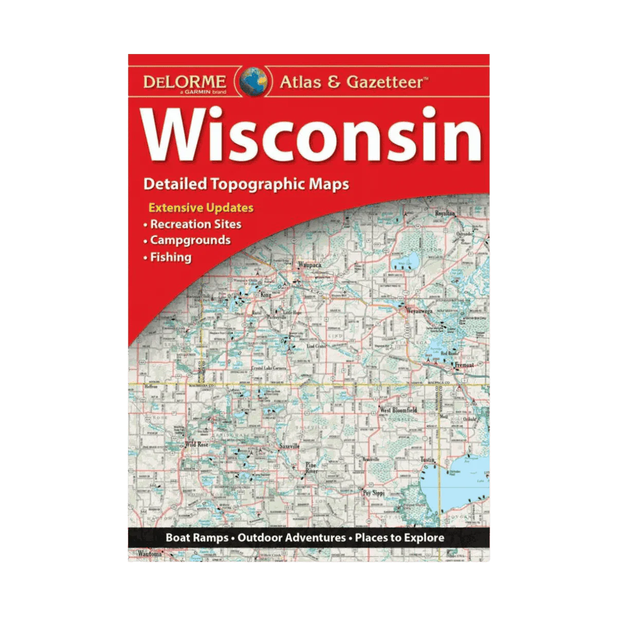
LAKEMAPS DELORME ATLAS/GAZETTEER - WISCONSIN
Brimming with detailed information, DeLorme’s Atlas & Gazetteer is the ideal resource for discovering Wisconsin’s great outdoors. Its full-color topographic maps—supported by a thorough index—highlight everything from cities and small towns to historic attractions, scenic routes, trailheads, boat launches, and top fishing areas. Bound conveniently in a book format, this Atlas & Gazetteer stands as one of the most complete guides to Wisconsin’s backcountry. Each map includes a latitude/longitude grid for easy GPS navigation, along with inset maps of major cities and all state-managed lands.
Details:
-
Type: Paperback Atlas
-
Subtype: Popular/Travel
-
Language: English
-
Publication Date: 2020-08-01
-
Scale: Varies by map
-
Regions Covered: Midwest, North America
-
Country: United States
-
State: Wisconsin
- Ωnfolded Size: 15.75" (W) x 11.02" (H)
-
Folded Size: N/A
-
Weight: 18.5 oz
Description
Brimming with detailed information, DeLorme’s Atlas & Gazetteer is the ideal resource for discovering Wisconsin’s great outdoors. Its full-color topographic maps—supported by a thorough index—highlight everything from cities and small towns to historic attractions, scenic routes, trailheads, boat launches, and top fishing areas. Bound conveniently in a book format, this Atlas & Gazetteer stands as one of the most complete guides to Wisconsin’s backcountry. Each map includes a latitude/longitude grid for easy GPS navigation, along with inset maps of major cities and all state-managed lands.
Details:
-
Type: Paperback Atlas
-
Subtype: Popular/Travel
-
Language: English
-
Publication Date: 2020-08-01
-
Scale: Varies by map
-
Regions Covered: Midwest, North America
-
Country: United States
-
State: Wisconsin
- Ωnfolded Size: 15.75" (W) x 11.02" (H)
-
Folded Size: N/A
-
Weight: 18.5 oz