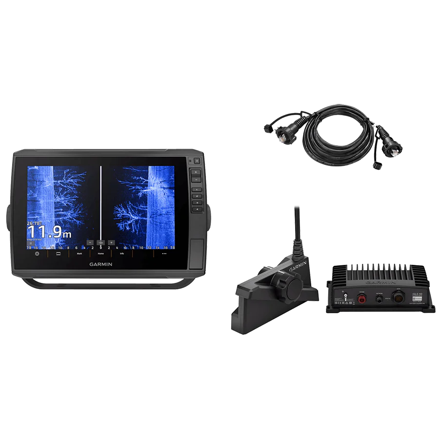
HUMMINBIRD XPLORE 9 CMSI + FISH FINDER
Engineered for speed and precision, the XPLORE Series puts anglers in control with lightning-fast performance and advanced features designed to find fish faster.
Key Features:
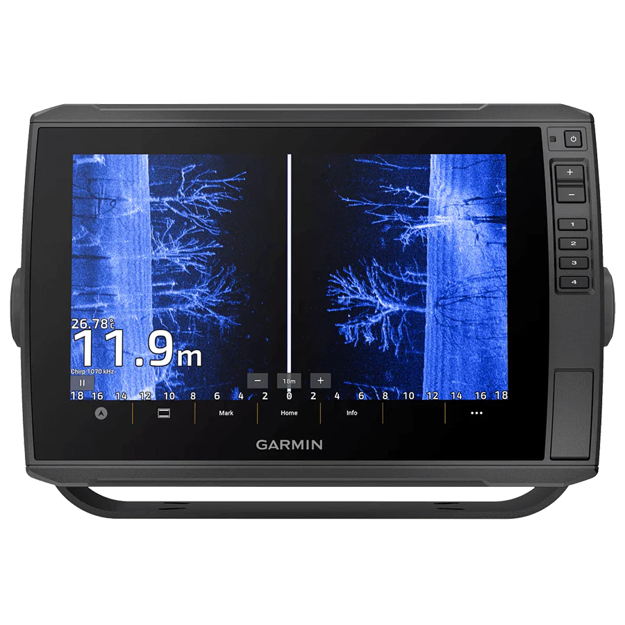
- Full-HD Display with Cross Touch®: Stunning 1280x720 resolution touchscreen and keypad control for flexible operation
- MEGA Side Imaging+®: Crystal-clear side views up to 200 ft on each side, with 20% more detail and 60% greater range than standard MEGA Side Imaging
- MEGA Down Imaging+®: Exceptional underwater clarity down to 200 ft, with 20% more detail and 60% deeper coverage than MEGA Down Imaging
- Dual Spectrum CHIRP Sonar: Sharp fish arches and detailed structure views with Wide and Narrow modes for broad or focused scanning
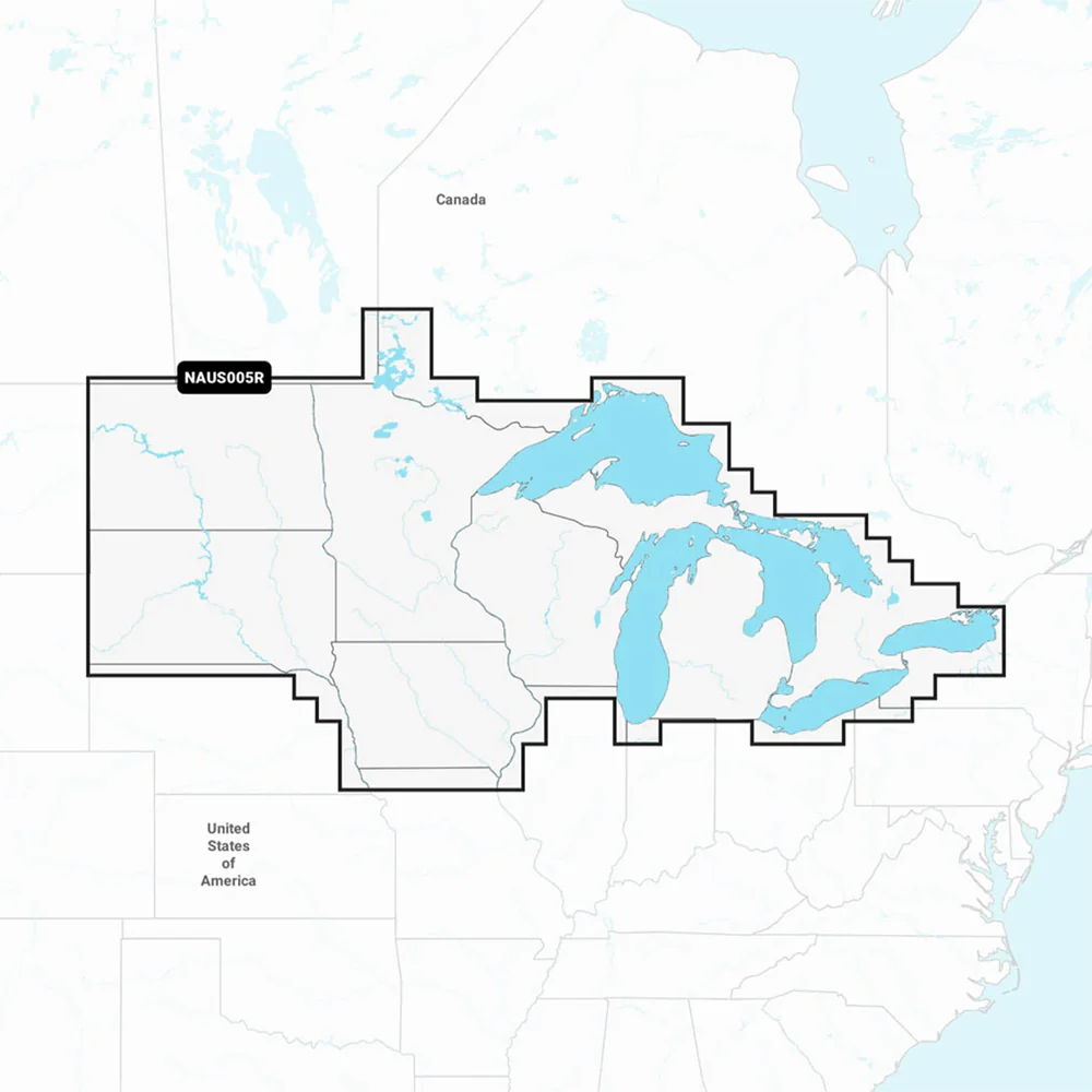
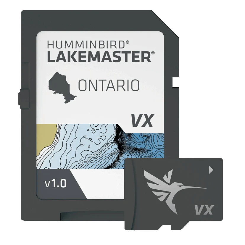
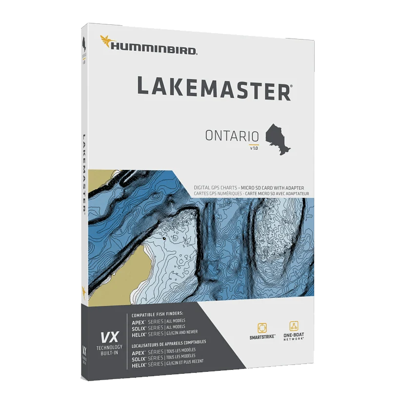
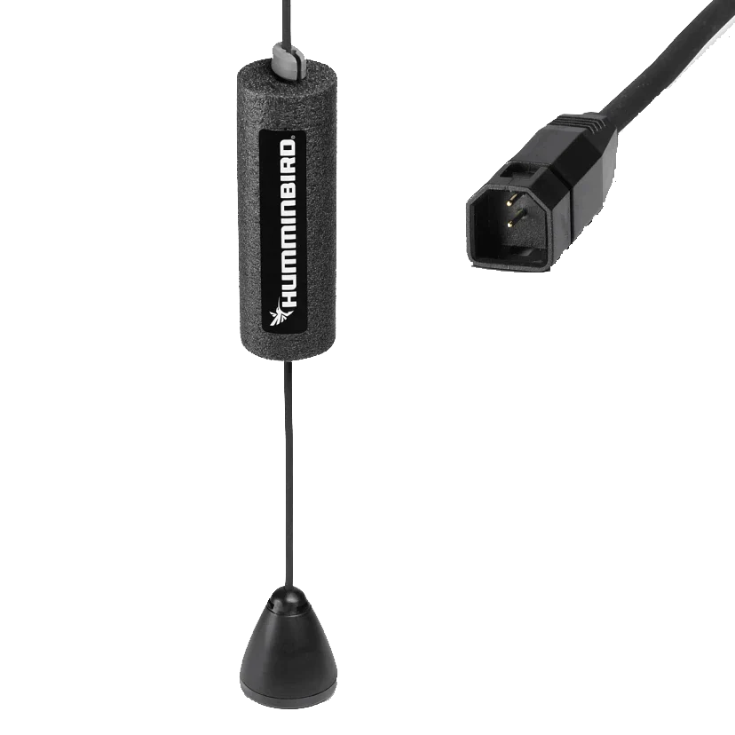
- Internal GPS & Humminbird Basemap: Navigate confidently with detailed charts of 10,000+ lakes plus U.S. coastal coverage, including buoys, hazards, and depth markers
- Premium Chart Compatible: Supports LakeMaster®, CoastMaster™, and Navionics® charts for the most complete underwater map options
- Waypoint Sync: Sync up to 10,000 custom waypoints with colors and icons to your phone for seamless trip planning
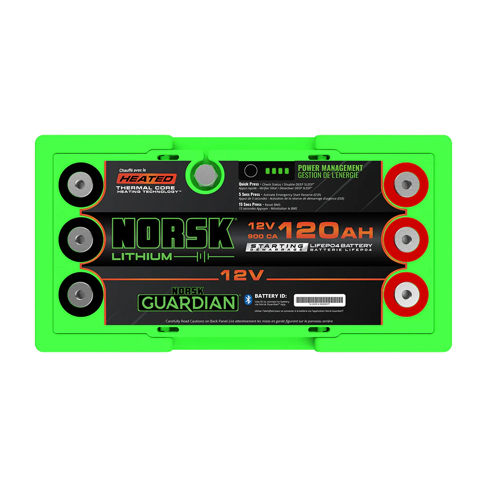
- One-Boat Network® Compatible: Connect and control Minn Kota products, including Advanced GPS navigation and shallow water anchoring
Original: $1,499.99
-65%$1,499.99
$525.00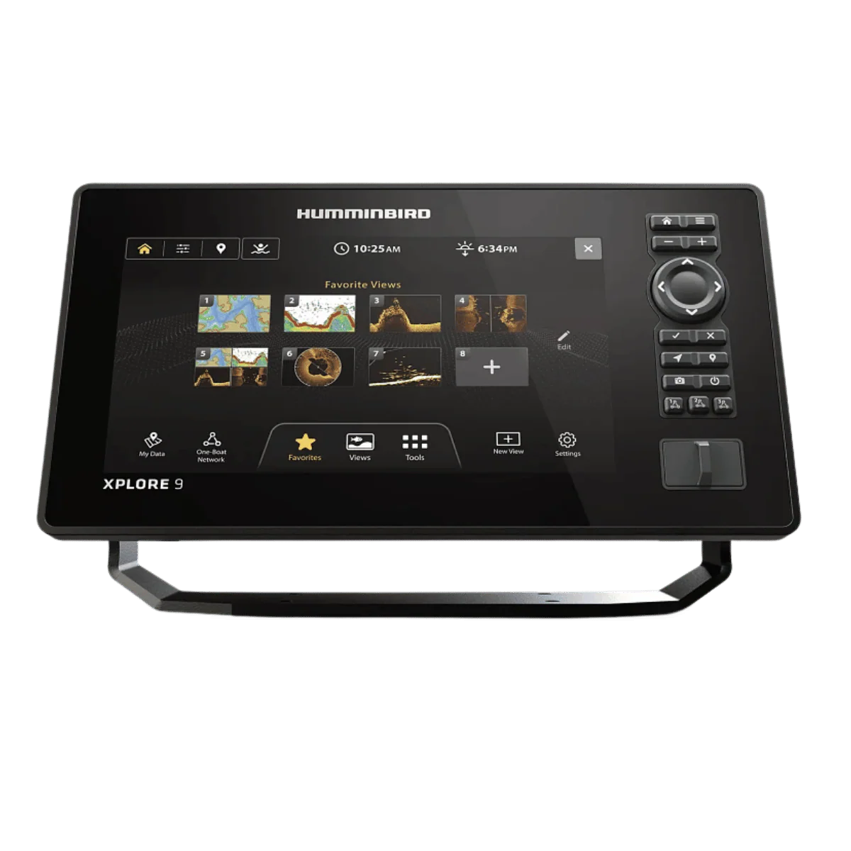
Description
Engineered for speed and precision, the XPLORE Series puts anglers in control with lightning-fast performance and advanced features designed to find fish faster.
Key Features:
- Full-HD Display with Cross Touch®: Stunning 1280x720 resolution touchscreen and keypad control for flexible operation
- MEGA Side Imaging+®: Crystal-clear side views up to 200 ft on each side, with 20% more detail and 60% greater range than standard MEGA Side Imaging
- MEGA Down Imaging+®: Exceptional underwater clarity down to 200 ft, with 20% more detail and 60% deeper coverage than MEGA Down Imaging
- Dual Spectrum CHIRP Sonar: Sharp fish arches and detailed structure views with Wide and Narrow modes for broad or focused scanning
- Internal GPS & Humminbird Basemap: Navigate confidently with detailed charts of 10,000+ lakes plus U.S. coastal coverage, including buoys, hazards, and depth markers
- Premium Chart Compatible: Supports LakeMaster®, CoastMaster™, and Navionics® charts for the most complete underwater map options
- Waypoint Sync: Sync up to 10,000 custom waypoints with colors and icons to your phone for seamless trip planning
- One-Boat Network® Compatible: Connect and control Minn Kota products, including Advanced GPS navigation and shallow water anchoring