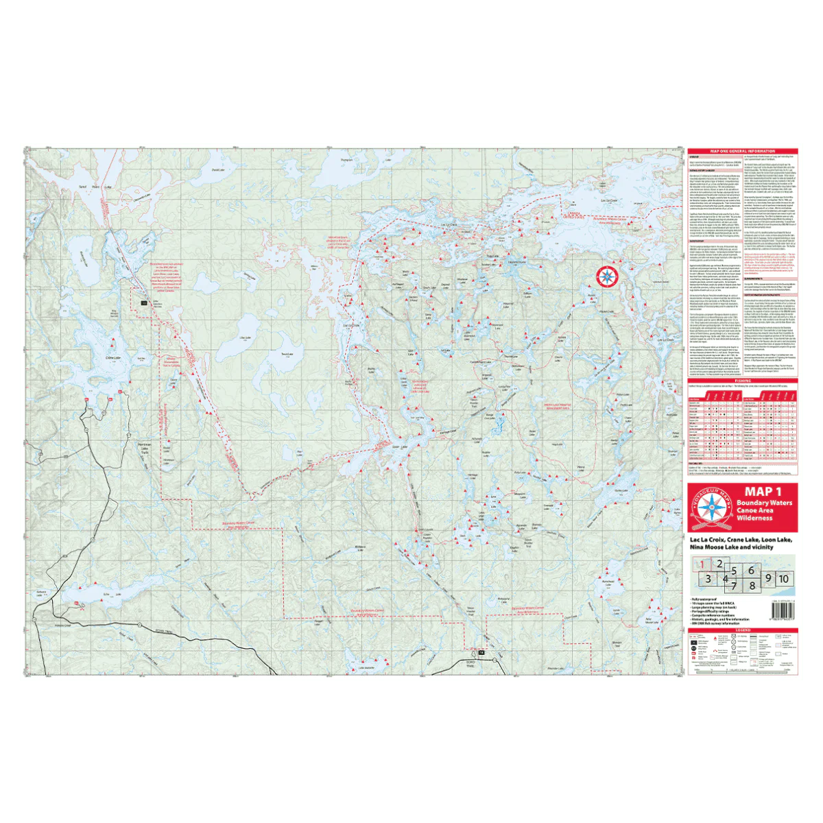
VOYAGEUR BWCA MAP 1 - FAR NORTHEASTERN SECTION
Map 1 highlights areas in the far northeastern section of the Boundary Waters, including access points located north of the Echo Trail. This region features outstanding canoeing across numerous pristine wilderness lakes and offers the chance to explore the impressive Lac La Croix along the U.S.–Canada border.
Most visitors to the areas depicted on Map 1 tend to stay along the perimeter—paddling the border lakes such as Little Vermilion Lake, Loon Lake, and Lac La Croix—or choosing southern routes through the Pauness Lakes, Shell Lake, Lynx Lake, Oyster Lake, and down toward Nina Moose Lake. Greater solitude—and more challenging travel—await those venturing into the smaller, more remote lakes located just south of Lac La Croix.
Description
Map 1 highlights areas in the far northeastern section of the Boundary Waters, including access points located north of the Echo Trail. This region features outstanding canoeing across numerous pristine wilderness lakes and offers the chance to explore the impressive Lac La Croix along the U.S.–Canada border.
Most visitors to the areas depicted on Map 1 tend to stay along the perimeter—paddling the border lakes such as Little Vermilion Lake, Loon Lake, and Lac La Croix—or choosing southern routes through the Pauness Lakes, Shell Lake, Lynx Lake, Oyster Lake, and down toward Nina Moose Lake. Greater solitude—and more challenging travel—await those venturing into the smaller, more remote lakes located just south of Lac La Croix.