LAKEMAPS DELORME ATLAS/GAZETTEER - SOUTH DAKOTA
Rich in detail, DeLorme’s Atlas & Gazetteer is an essential guide for anyone eager to explore the wild beauty of South Dakota. Its full-color topographic maps—supported by a comprehensive index—highlight everything from towns and cities to historic landmarks, buttes, scenic routes, trailheads, boat launches, and top fishing areas. With 61 map pages in total, this Atlas & Gazetteer delivers one of the most complete and reliable resources for navigating South Dakota’s rugged backcountry.
Features:
-
Vibrant topographic maps covering cities, towns, historic sites, scenic drives, recreation areas, trailheads, boat ramps, and popular fishing spots
-
Extensive index for quick reference
-
Latitude/longitude overlay grids on each map for easy GPS use
-
Inset maps for major cities and all state lands
Product Details:
-
Dimensions: 15.5" x 11"
Original: $24.99
-65%$24.99
$8.75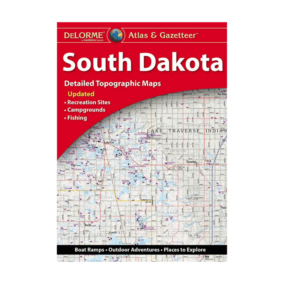
Description
Rich in detail, DeLorme’s Atlas & Gazetteer is an essential guide for anyone eager to explore the wild beauty of South Dakota. Its full-color topographic maps—supported by a comprehensive index—highlight everything from towns and cities to historic landmarks, buttes, scenic routes, trailheads, boat launches, and top fishing areas. With 61 map pages in total, this Atlas & Gazetteer delivers one of the most complete and reliable resources for navigating South Dakota’s rugged backcountry.
Features:
-
Vibrant topographic maps covering cities, towns, historic sites, scenic drives, recreation areas, trailheads, boat ramps, and popular fishing spots
-
Extensive index for quick reference
-
Latitude/longitude overlay grids on each map for easy GPS use
-
Inset maps for major cities and all state lands
Product Details:
-
Dimensions: 15.5" x 11"